Your Japan plan,
on one map.
Even offline.
Japan Trip turns your itinerary into a day-by-day map of Japan. It saves the streets, train lines and buildings around every stop to your phone, so it keeps working in a subway station, on a mountain, or without a data plan.
Coming soon to iPhone · in testing nowNo account. No ads. Your trip stays on your phone.
Built for walking around Japan
Most trip planners are made for the couch. Japan Trip is made for the moment you step out of the station and need to know where you're going.
Works offline
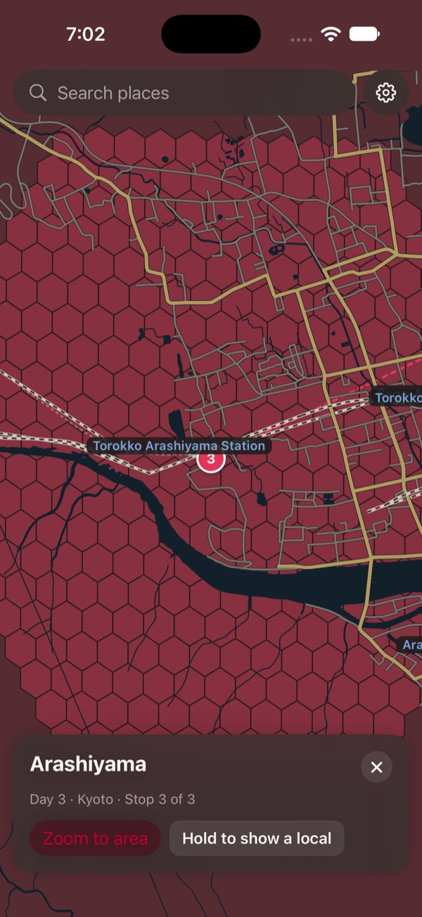
Streets, train lines, rivers and buildings for about 1 km around each stop are saved to your phone, plus a built-in map of Japan's railways and main roads.
Paste your plan
Copy an itinerary from anywhere and paste it in. "Day 1, Day 2…" become days, and every place is looked up and pinned. You check the matches before anything is added.
One day at a time
Tap a day to see just its stops, numbered in order with the route between them. Long-press to zoom back out to the whole trip.
Show a local
Hold one button and the place's Japanese name fills the screen, big and clear, so you can show it to a taxi driver or ask for directions.
Nothing changes by accident
The map is view-only while you walk. Moving or removing stops happens on a separate edit screen, and nothing is saved until you tap Save.
Your language
The app and place names come in 12 languages, including English, Chinese, Korean, French, German, Spanish and Thai.
A map that shows what you need
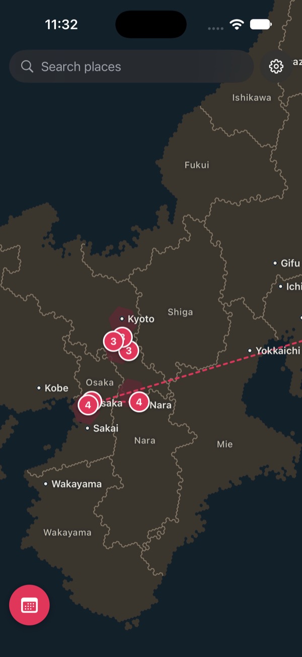
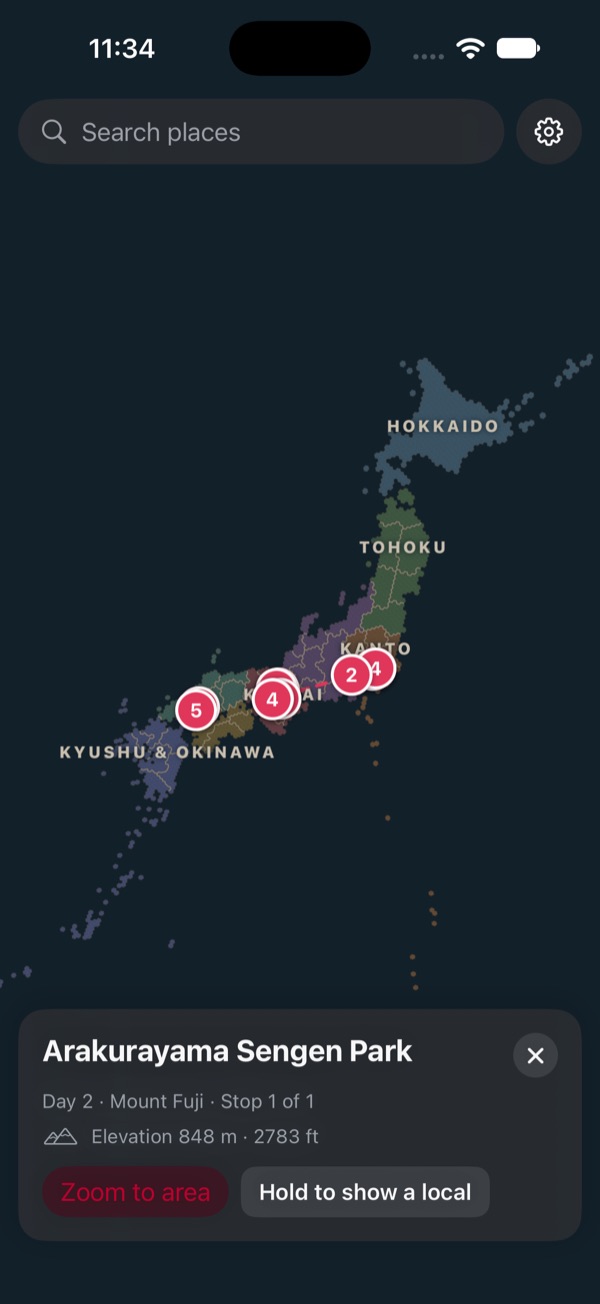
Zoomed out you see Japan's regions, prefectures and big cities. Zoom in and the detail appears where your trip goes.
How it works
Plan at home on Wi-Fi. Use it anywhere in Japan.
- Add your planPaste an itinerary or search for places, and put them on days.
- Let it save the mapThe app downloads the area around each stop, once, while you're online.
- GoOpen a day and walk it, with or without a signal.
Coming soon to iPhone
Japan Trip is in testing now. Check back here for the download.
Coming soon to iPhone